







Warnings issued due to risk of flash floods along the Texas coast due to heavy rain this sunday
The NWS issued a Level 2 (out of 4) alert for excessive precipitation, due to the risk of flash flooding in urban areas, on roads and in low-lying areas. The forecast also calls for strong winds, snowfall and freezing conditions in various regions of the country.
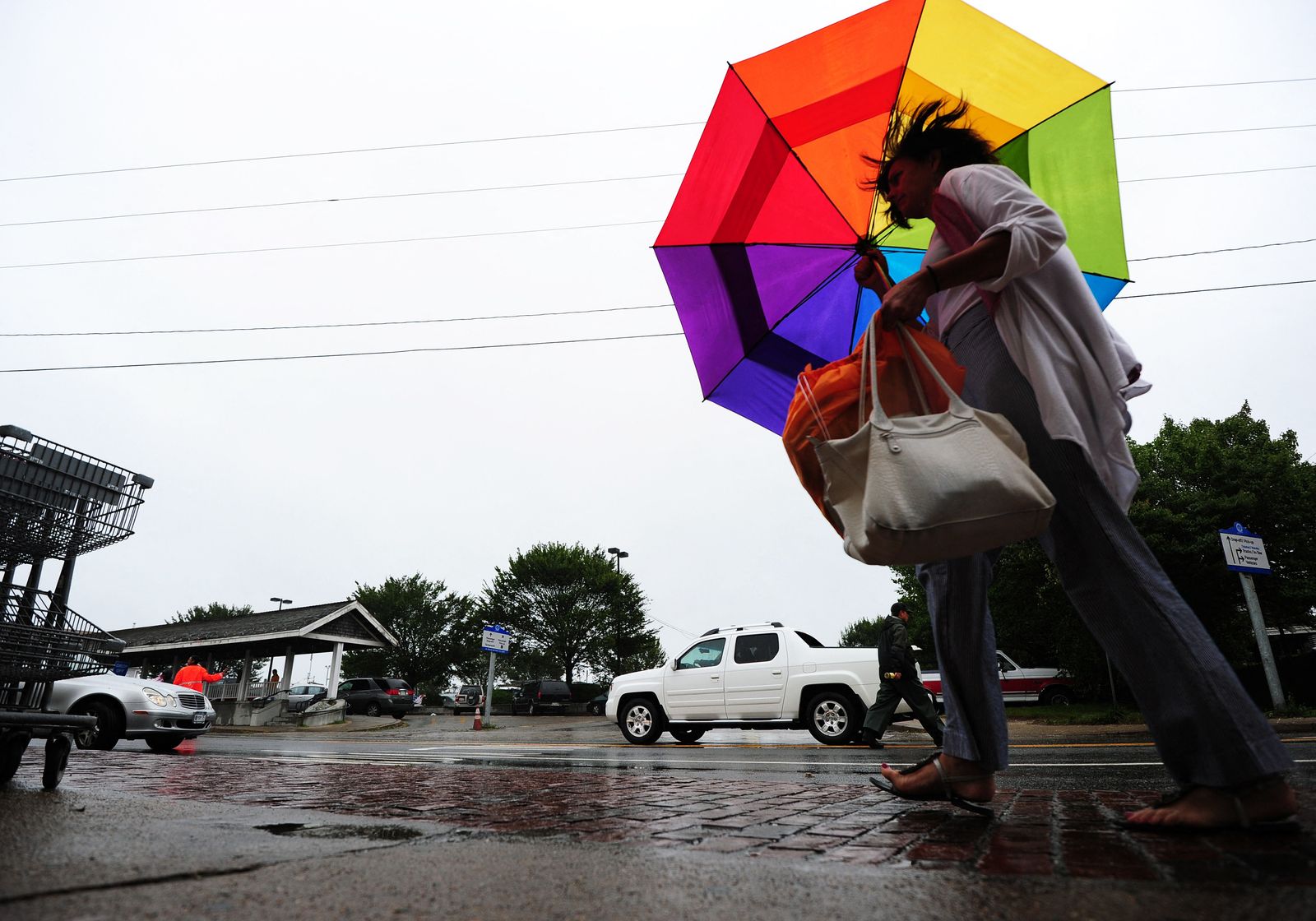

The Weather Prediction Center (WPC) of the U.S. National Weather Service (NWS) warned of a moderate risk of excessive rainfall in parts of the Texas coast this Sunday, Nov. 15, due to the advance of a weather system that will bring heavy rain and storms.
The agency issued a Level 2 out of 4 for excessive rainfall, given the possibility that the rains could cause flash flooding, primarily in urban areas, on roads, in small streams and in low-lying areas.
According to the forecast, the weather system will move from the southern Rocky Mountains and the Great Plains toward the southeast, reaching the western coast of the Gulf of Mexico. The formation of a low-pressure system in that area will also lead to strong wind advisories in parts of the Gulf Coast on Sunday.
Rainfall will initially affect parts of the southern and central Great Plains on Saturday night and Sunday, accompanied by some thunderstorms. The heaviest rains will then move toward the central Gulf Coast on Sunday night and early Monday morning.
The forecast also calls for scattered showers along the Florida coast and nearby areas of the Gulf of Mexico late Monday night, driven by winds from the eastern Atlantic Ocean.
Rain, snow and strong winds in other regions
In the northeast of the country, a trough in the upper atmosphere will cause isolated snowfall in the higher-elevation areas of parts of New York State and New England, while rain is expected in lower-elevation areas through Sunday night.
Meanwhile, a frontal system will reach the west coast on Saturday night and move inland, from the northern Intermountain Mountains to Southern California, by Monday night.
The advance of the front will trigger strong wind advisories and wind warnings in parts of the northwest coast, from Saturday night through the early hours of Sunday.
This system will also cause snow lines to drop in parts of the northern Intermountain Range and the California Sierra. Light snowfall is expected in higher-elevation areas between Sunday night and Monday.
In addition, rain will develop in parts of the northwest coast between Saturday night and Sunday.
Southeast and the eastern coast of the Gulf of Mexico
The NWS forecast covers the period from 00:00 UTC on Sunday, Nov. 15, to 00:00 UTC on Tuesday, Nov. 17, 2026.
🛠 Do you think there is an error in this article?
Recommendations





LATEST