






ANALYSIS
Earth is not ‘on fire’: NASA satellite data shows historically low global wildfire season in 2026
Although the fires in the United States, Canada, Spain, and France have dominated media coverage, NASA satellite data reveal that all continents burned less land between January and August 2026 than the average for the past 25 years.
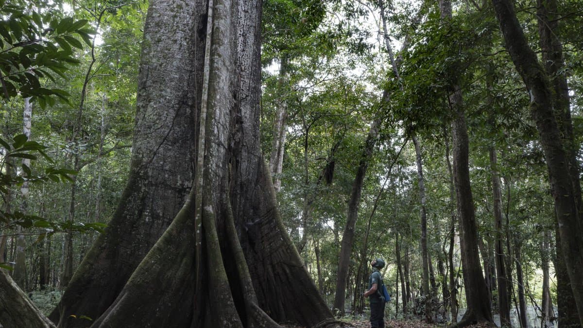
A ceiba tree in the Amazon rainforest—File photo

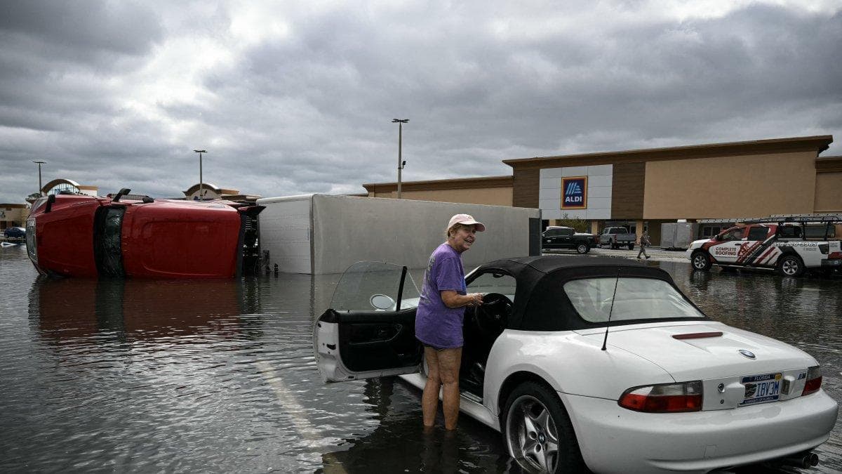
While headlines in recent months have been dominated by devastating wildfires in the United States, Canada, Spain and France, satellite records from NASA paint a different picture on a global scale.
According to the analysis by Danish environmentalist Bjørn Lomborg, president of the Copenhagen Consensus, the area burned worldwide between January and August 2026 is the lowest on record since systematic satellite measurements began.
What the NASA data shows
NASA's MCD64A1 version 6.1 product combines observations from the Terra and Aqua satellites. It uses MODIS surface reflectance images with a resolution of approximately 0.31 miles and active fire detections with a resolution of approximately 0.62 miles to identify burned areas worldwide, with monthly data available since November 2000.
According to the analysis by Lomborg, between January and August 2026, the global burned area was 21.6% below the average for the same period between 2001 and 2025. The graph based on this data shows that the area burned in the first eight months of 2026 represents approximately 1.21% of the global land area, the lowest value in the entire 2001–2026 satellite record. In the early years of the record, the percentage typically ranged between 1.5% and 1.8%.
The decline is not concentrated in a single region. All continents recorded levels below their own historical January–August average, and the reduction is observed across all land-use categories: forests, shrublands, savannas, grasslands and croplands.
All continents show a decrease in burned area
NASA data show that the reduction in burned area between January and August 2026 was not limited to a single region. All continents fell below their own average for the same period between 2001 and 2025.
In North America, the area burned was just 1% below the historical average. This figure is particularly significant because it contrasts with the media's portrayal of an especially active season in the country.
Although the U.S. recorded more than 9 million acres burned through early October—145% of the average for the past decade—the continent as a whole remained virtually in line with the average for the past 25 years.
The decline was much more pronounced on other continents. South America recorded a 52% drop, Europe 51%, Asia 39%, Africa 16% and Oceania 15%. This data shows that, on a continental scale, no region experienced an increase in the area burned compared to its January–August average.
GWIS rapid estimates point in the same direction
This data contradicts the perception of a widespread escalation of wildfires and shows that the severe incidents recorded in the United States, Canada, Spain and France—while real—do not represent the global picture.
The Danish environmentalist argues that focusing attention solely on active fires in certain countries creates a distorted picture. While headlines focused on the affected areas, the planet as a whole experienced one of the seasons with the least burned area in recent decades.
🛠 Do you think there is an error in this article?
Recommendations





LATEST