After brief tornado warnings, excessive rain, severe storms in Appalachia and Mid-Atlantic; flood risk extends to Southwest
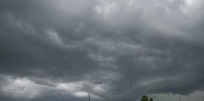
A front and a trough will bring two days of heavy rain from the Ohio Valley to the Mid-Atlantic, thunderstorms in the Southeast and Florida, and possible flooding in New Mexico and Texas. Last night's tornado advisories have now expired.
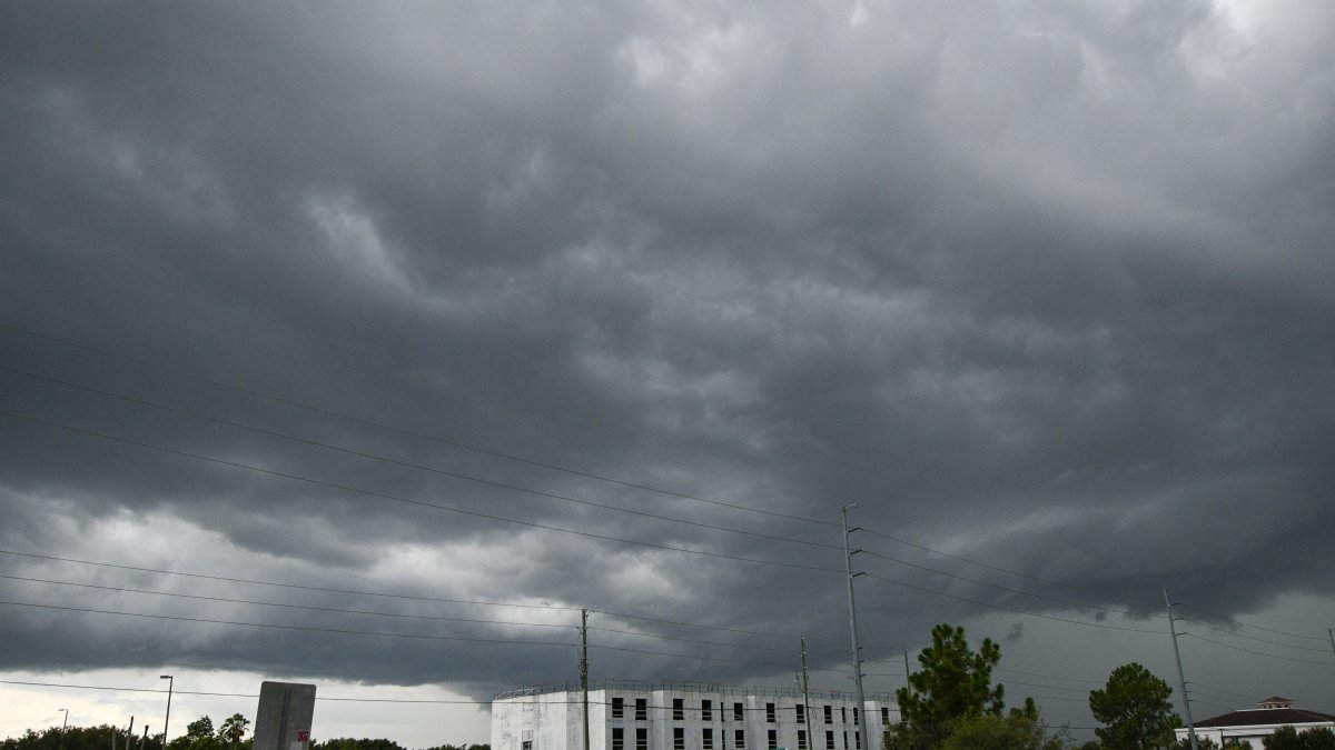
Storm in Orlando, Florida—File Photo

The Weather Prediction Center (WPC) of the National Weather Service (NWS) has issued an alert for Monday and Tuesday regarding the risk of excessive rainfall in parts of the Appalachians and the Mid-Atlantic, along with a risk of severe thunderstorms extending from the Southeast to the central Appalachians. Meanwhile, the WPC is maintaining a flash flood threat through Tuesday due to excessive rain in New Mexico and parts of the southern Great Plains and Texas.
On Sunday night, the NWS issued brief tornado advisories for southwestern and southern Ohio, West Virginia, and El Paso, Colorado, due to radar-detected rotation. All have expired; as of Monday, there are no tornado advisories in effect.

Appalachians and Mid-Atlantic: two days of flood risk
The WPC expects multiple rounds of moderate to locally heavy rain to develop on Monday over parts of the Appalachians and the Mid-Atlantic, as upper-level instability and moisture interact with the front and a surface trough. This development raises concerns about excessive rainfall and possible flash flooding in those areas on Monday.
On Tuesday, additional shortwave energy over the Ohio Valley and the Mid-Atlantic will trigger new showers and thunderstorms. The combination of locally high instability and organized convection could produce high precipitation rates, leading to a second day of excessive rainfall risk in parts of the Ohio Valley and the Mid-Atlantic, while the threat of severe storms persists in parts of the Appalachians and the Southeast.

Southeast and Florida: daily thunderstorms and flood risk
Over Florida, a mass of moist tropical air will continue to support daily showers and thunderstorms, especially in the southern part of the state. The WPC warns that locally heavy downpours could cause flooding issues in that region through Tuesday.
Southwest, Southern Plains, and Four Corners: increased convective activity
In the Southwest, the convergence of moisture from the Gulf and the Pacific toward parts of the Southern Plains, the Southwest, and the Four Corners region will drive an increase in showers and thunderstorms on Monday, with activity becoming more widespread on Tuesday. The combination of deep moisture and atmospheric instability increases the risk of locally heavy rain and flash flooding in New Mexico and parts of western Texas through Tuesday.

Society
US experiences hottest summer on record as El Niño gains strength in tropical Pacific
Carlos Dominguez
Temperature contrast: cool in the North, humid and hot in the South
Behind the advancing front, a gradual transition to cooler temperatures is expected in the north-central and eastern U.S., with highs around 60 °F (15–20 °C). In contrast, the Southeast and the Southern Plains will remain hot and humid, with highs in the 80–90 °F (27–32 °C) range.
LATEST