Alerts for torrential rains and flooding are on the rise in the central and southern parts of the country
The remnants of Hurricane Polo are fueling a spell of heavy rainfall from the Rocky Mountains to the Great Plains, while the risk of flash floods persists in several states.
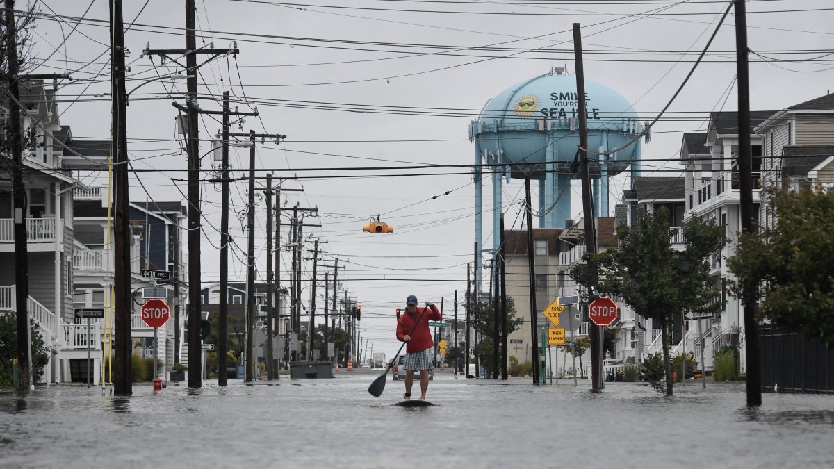
A flooded street after heavy rains in Sea Isle City, New Jersey

On Wednesday, the country braced for weather conditions marked by heavy rain and the risk of flash flooding across much of its central and southern regions, after several days of severe weather that also brought downpours and damage to the Northeast.
The Weather Prediction Center (WPC) maintains a moderate risk of excessive rainfall for September 30 in parts of the Central and Southern Plains, as well as in areas of the Southern Rockies and the so-called Corn Belt. The agency warns that several days of accumulated rainfall increases the risk of flooding, especially where the ground is already saturated.
One of the factors fueling this event is moisture from the remnants of Hurricane Polo, which previously struck the Mexican peninsula of Baja California. The system carried a significant amount of moisture toward Arizona, New Mexico, Colorado, Texas, and the Great Plains, where it is interacting with a broader low-pressure system.

The WPC noted that the threat of heavy rain is shifting this Wednesday toward southern Colorado, New Mexico, and the Southern Plains, with the possibility of persistent rainfall also extending into parts of the Mississippi Valley. Mountainous areas, dry riverbeds, areas previously affected by wildfires, and areas with limited drainage are particularly vulnerable.
During the early hours of Wednesday, the weather center was also monitoring several short-term forecasts for heavy rain with the potential or likelihood of flash flooding in various regions of the country.
The Northeast recovers from the nor'easter
In Massachusetts, some areas recorded more than eight inches of rain, while in Maine, the storm's slow movement resulted in several centimeters of accumulated rainfall over several days.
The system has already begun to weaken and move away toward the northeast, according to forecasts from the National Weather Service.
Monitoring the Atlantic and Pacific
The hurricane season remains active. The National Hurricane Center (NHC) is monitoring several tropical systems in the Atlantic and the Pacific. In the Atlantic, Tropical Storms Fay and Hanna were far from the U.S. mainland coast, while in the Pacific, attention was focused on Polo and other active systems.
For the coming days, WPC models continue to raise concerns about a prolonged period of excessive rainfall from the south-central to the central-eastern United States, with tropical moisture feeds that could keep the risk of flooding high through early October
LATEST