

The country begins this Monday, Nov. 16, with a weather outlook marked by the arrival of storm systems from the Pacific Ocean, capable of causing heavy rain, snowfall in high-elevation areas and travel disruptions in several western states.
According to the Weather Prediction Center (WPC) of the National Weather Service (NWS), an upper-level low-pressure system, accompanied by a front and abundant moisture from the Pacific, will bring rainfall from the Northwest to California and other areas of the western interior.
The official forecast, released early Monday morning, also notes risks of flash flooding for Tuesday, Nov. 17, in parts of eastern Florida and the Four Corners region, where Arizona, Utah, Colorado and New Mexico meet.
California and Northwest brace for rain and snow
The system moving in from the Pacific will bring periods of rain and snow in the western United States. Falling temperatures and a lower snowline will lead to moderate to heavy accumulations in parts of the Sierra Nevada, the Cascade Mountains and the Olympic Mountains.
These conditions could make driving on mountain roads difficult, especially between Monday and the early hours of Tuesday.
In addition, forecasts call for a second episode of significant rainfall in California toward the middle of the week, with heavier rain and fresh snowfall that could continue through Thursday, Nov. 19.

Health
Dengue: Climate and human mobility are driving the disease's spread to new regions
Diane Hernández
Florida faces risk of flash floods
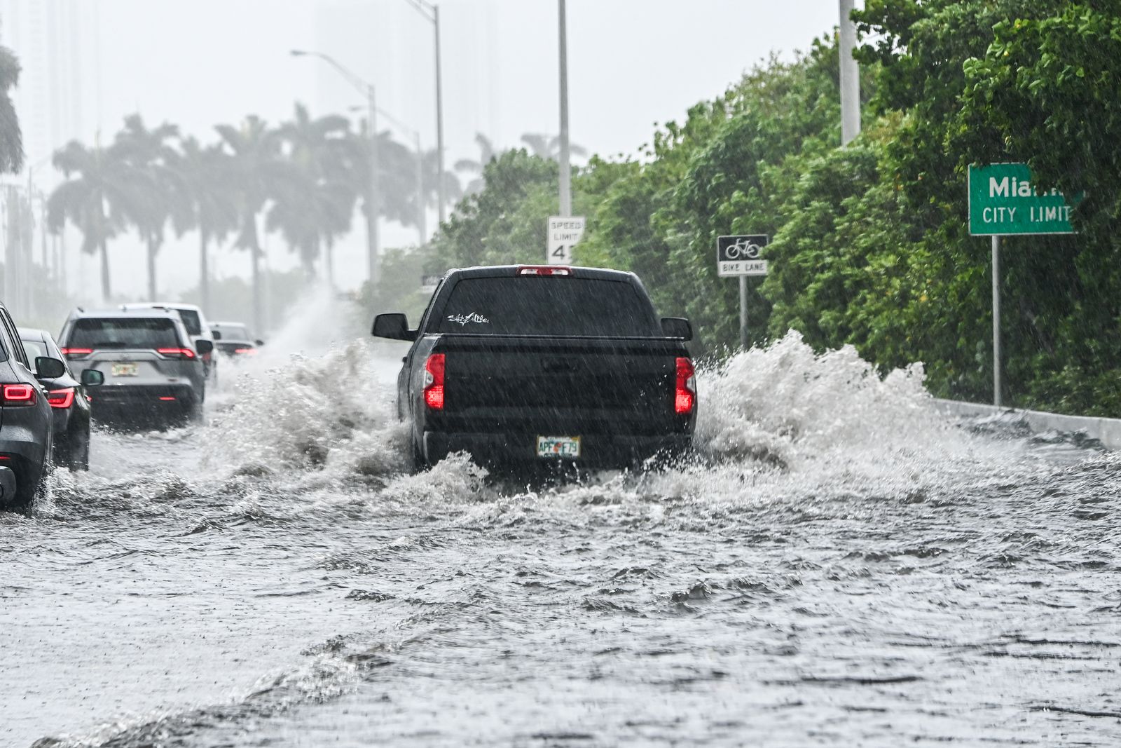
On the Atlantic coast of Florida, meteorologists are forecasting an increase in rainfall beginning Tuesday, associated with a low-pressure system and a persistent influx of moisture from the ocean.
The WPC has issued a slight risk of excessive rainfall for parts of eastern California on Tuesday, Nov. 17. This category, known as Slight Risk, represents level 2 on a 4-point scale and warns of the possibility of scattered flash floods.
The threat could persist over the next few days due to continued rainfall, so authorities recommend staying tuned for local updates.
Southwest could also experience flooding
The front will move toward the Rocky Mountains and the Four Corners region on Tuesday, increasing the chances of rain, isolated thunderstorms and snowfall at higher elevations.
The NWS warns that the rainfall could cause flash floods, especially in areas previously affected by wildfires, where the soil has a reduced capacity to absorb water.
More stable weather in Midwest and parts of East Coast
While the West faces unstable conditions, a high-pressure system will move toward the Ohio Valley and bring drier, calmer weather to much of the Midwest and the eastern part of the country through Tuesday.
However, a weather disturbance moving through the lower Mississippi Valley will keep the likelihood of showers and thunderstorms in parts of the Gulf Coast and Florida.
The contrast between these two regions will shape the weather at the start of the week, as meteorologists monitor the development of the Pacific storms.
Authorities recommend checking local advisories from the National Weather Service before traveling, especially in mountainous areas and flood-prone zones.