







Snow in the high elevations of New York and New England, polar cold and blizzards in the Sierra Nevada are shaping the weekend across the country
A powerful coastal storm will bring heavy rain to the northeastern United States this weekend, while a polar air mass will sweep across much of the country and bring snow to the higher elevations of New York and New England. The NWS is warning of cold weather, widespread freezing conditions and hazardous travel conditions in several regions.
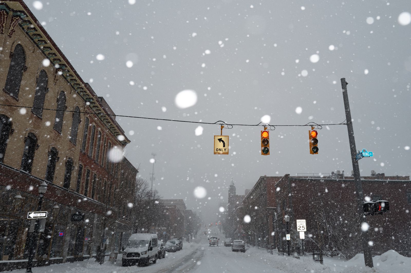
Heavy snowfall in Marquette, Michigan

A powerful coastal storm will bring heavy rain to the northeastern United States, while a polar air mass will sweep across much of the country and bring snowfall to elevated areas of New York and New England. The National Weather Service (NWS) warns that the weekend will be marked by cold weather, snow and hazardous travel conditions in several regions.
Snow in the Northeast Highlands
The storm moving up the East Coast will bring persistent rain to southern New England starting Thursday afternoon, with the possibility of heavy precipitation near the coast and northeasterly winds that could cause minor coastal flooding around high tide, especially near New York.
As cold air wraps around the cyclone's large circulation, the rain could turn to snow tonight and throughout Friday in the higher elevations of New York, northeastern Pennsylvania and northern New England. There, snow accumulation and slippery road conditions are expected, while rain will predominate in the valleys and at lower elevations, though it could turn into a mix of rain and snow on Friday morning.
Wet snowflakes could also fall in the southern and central Appalachians, especially between Friday night and Saturday morning, with some areas seeing their first snowflakes of the season.
Polar air and snow in the Great Lakes region
Behind the cyclone, a polar air mass will move over much of the central and eastern parts of the country toward the weekend. High temperatures will be well below normal starting Friday, and overnight lows will drop to 20 degrees Fahrenheit across much of the central United States.
Freezing conditions and widespread frost will spread across the South and Southeast over the weekend, with temperatures below zero potentially reaching as far south as the Deep South by Saturday morning. This temperature drop, combined with northwesterly winds blowing across the Great Lakes, will produce lake-effect rain and snow showers through Friday.
The heaviest snowfall is expected in the high-elevation areas of the Upper Peninsula of Michigan, where significant accumulations could occur. In addition, strong winds and very dry air behind the front will increase the risk of wildfires in parts of the Southeast today.
Blizzards in the Sierra Nevada
In the western part of the country, warm and dry conditions will continue through Thursday, with high temperatures that could challenge some daily records in parts of the Northwest and the Great Basin. However, the outlook will change rapidly on Friday, when a powerful Pacific system, laden with subtropical moisture, reaches the coast.
Moderate to heavy rain and strong southerly winds are expected in Northern California and the Pacific Northwest. In the high elevations of the Sierra Nevada, heavy snow and strong winds could create blizzard conditions between Friday night and Saturday morning, making travel dangerous or even impossible.
A separate system, originating in Baja California, will bring rain to Southern California on Friday, with locally heavy precipitation near the coast. By Saturday morning, rain and wet snow at higher elevations will spread across much of the Great Basin towards the Four Corners, while another system further south will bring showers and embedded thunderstorms to Arizona and New Mexico, reaching western Texas by Saturday morning.
A weekend of contrasts
While the Northeast braces for heavy rain and snow at higher elevations, the central and eastern parts of the country are cooling off dramatically and the West faces strong winds and blizzards in the mountains. The combination of these systems poses a challenge for travelers and local authorities, who will need to remain vigilant about changing conditions throughout the weekend.
🛠 Do you think there is an error in this article?
Recommendations





LATEST


