Severe storms and flooding threaten the eastern part of the country as extreme heat persists through the weekend
Dangerous heat will intensify in the south-central and southwestern regions, with high temperatures ranging from 100 to 110°F in parts of the southern and southwestern Great Plains.
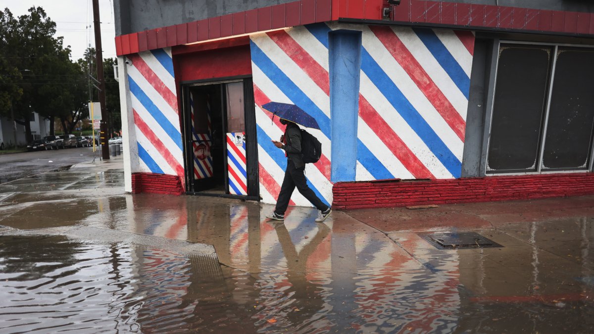
Rain in Los Angeles

Parts of the eastern United States face a threat of flash flooding and severe storms this Saturday, while the risk of extreme weather also extends over the weekend from the Rocky Mountains and the Great Plains to the Southwest. At the same time, dangerous heat will continue in the south-central and southwestern parts of the country.
An amplified atmospheric pattern, with a trough deepening over the eastern United States and a persistent high-pressure system over the southern Great Plains and the Southwest, will maintain unstable conditions from the Rocky Mountains and the Great Plains to the eastern part of the country over the next few days.
At the surface, the low-pressure system over the Great Lakes and the Ohio Valley will continue to strengthen, while several frontal boundaries begin to merge. By Saturday, a slow-moving front will extend from the Ohio Valley and the Mid-Atlantic toward the Southeast and the southern Great Plains.
The combination of an increasingly strong cyclonic flow, upper-level forcing and sufficient moisture will support multiple rounds of rain and thunderstorms along the front. Locally intense precipitation will also be possible in parts of the Great Lakes, the Mid-Atlantic, the Carolinas and the Northeast.
On Sunday, the system will continue moving eastward, while an area of cyclogenesis develops north of the Great Lakes, leading to more rain in parts of the Northeast.
The Storm Prediction Center also notes a risk of severe thunderstorms capable of producing hail and strong winds this Saturday in parts of the southern Great Plains, the Ohio Valley, the Great Lakes and the Mid-Atlantic. On Sunday, the threat will be concentrated in the Northeast.

Risk of flooding and storms in the West
Further west, a stationary front will continue to extend from the Rocky Mountains and the Great Plains to the Four Corners region. The combination of upper-level disturbances, the slow movement of the front and the influx of moisture will bring more rain and thunderstorms.
These conditions could produce excessive rainfall, flash flooding, lightning, severe hail and damaging winds in parts of the Rocky Mountains, the Great Plains and the Southwest over the weekend.
Dangerous heat in the South and Southwest
Dangerous heat will intensify in the south-central and southwestern regions, with high temperatures ranging from 100 to 110°F in parts of the southern Great Plains and the Southwest. The forecast also calls for numerous temperature records.
The lack of relief at night, combined with high humidity, could push heat indices to between 105 and 115°F.
Due to these conditions, a widespread heat risk ranging from "severe" to "extreme" is expected over the weekend.
LATEST