

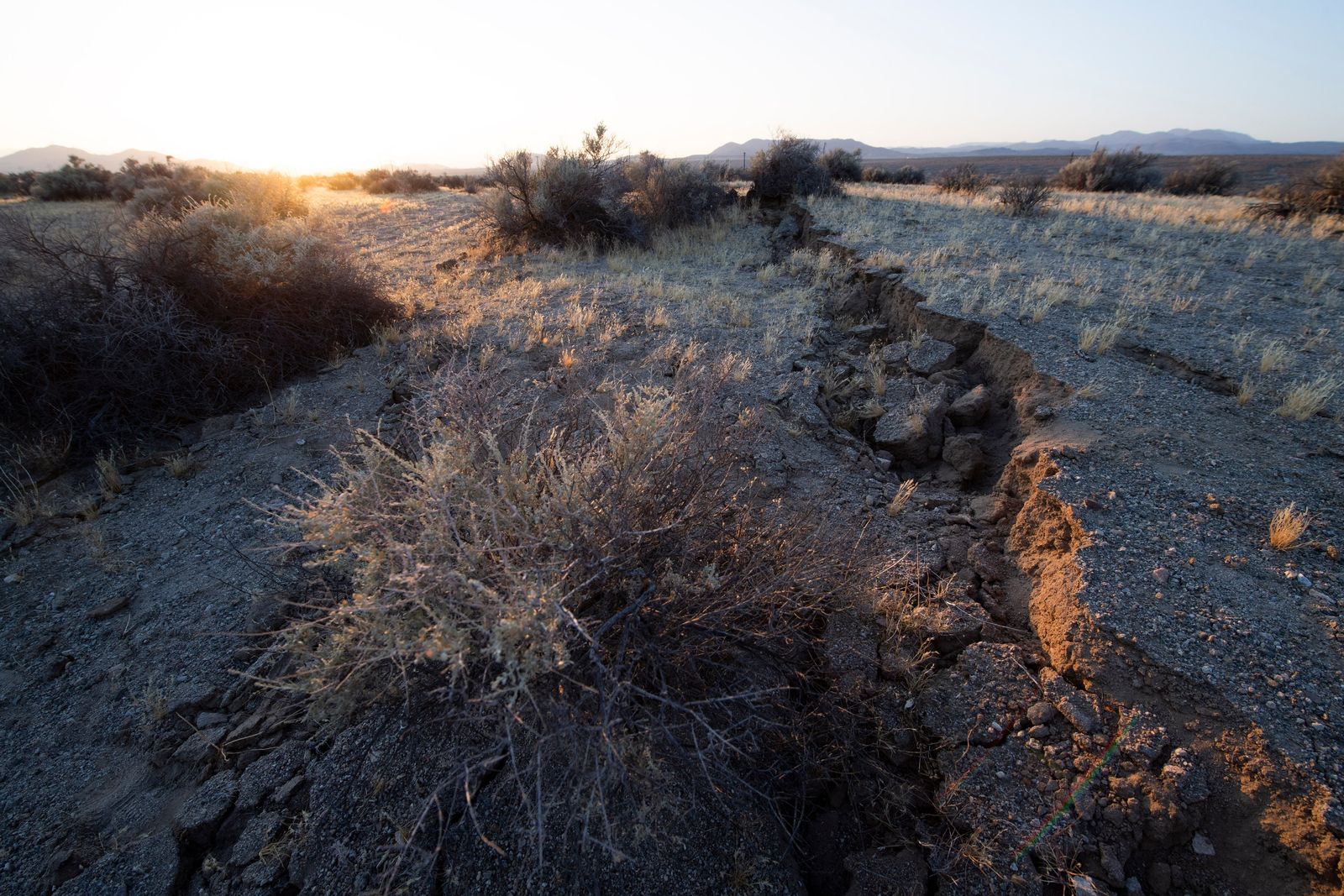
California recorded two earthquakes during the night of Thursday, Nov. 19, and early Friday morning, Nov. 20—one in central California and another in the Los Angeles metropolitan area—amid concerns about seismic activity along the San Andreas Fault.
The first, with a magnitude of 5.1, occurred near Soledad, in Monterey County, as confirmed by the U.S. Geological Survey (USGS). The magnitude was initially reported as 5.4 but was later revised downward.
According to Reuters, the epicenter was located approximately 20 kilometers from Soledad and 25 miles from Salinas, at a depth of 4.2 miles.
Hours later, another earthquake struck Commerce and several towns near Los Angeles at around 3:25 a.m. on Friday, local time.
As reported by NBC Los Angeles, citing the USGS, the quake was initially reported to have a magnitude of 4.4, and its epicenter was located northwest of Commerce, approximately 7 to 8 miles from downtown Los Angeles.
The tremor was felt by residents of Alhambra, San Gabriel, Pasadena, Long Beach, North Hollywood and Calabasas, according to citizen reports collected by the scientific agency.
The two events occurred in different parts of the state. Although both reflect California's seismic activity, their temporal proximity does not prove that they are causally related.

San Andreas Fault and major earthquake risk
The succession of seismic events once again puts the spotlight on the San Andreas Fault, one of the country's most important geological structures and responsible for some of the largest earthquakes recorded in California's history.
This fault forms part of the boundary between the Pacific and North American tectonic plates. The continuous movement of both plates builds up stress in the Earth's crust, which can be released through earthquakes.
As explained by the U.S. Geological Survey, some segments of the southern part of the fault have experienced long periods without major ruptures, which fuels scientific concern about the possibility of a large-magnitude earthquake.
A 2015 USGS report estimated that California had approximately a 7% chance of experiencing an earthquake of magnitude 8 or higher over the next 30 years. This is a long-term statistical estimate, not a warning that an earthquake is imminent.
Details of the study are available in the USGS's official publication on California's seismic risk.
Are these tremors a sign that the Big One is coming?
In California, the term "The Big One" is used in California to describe a potential major earthquake—especially one associated with the San Andreas Fault—that could cause severe property damage and affect millions of residents.
However, the earthquakes recorded on Friday do not indicate that a catastrophe is imminent.
The USGS maintains that there is currently no scientific method capable of accurately predicting the date, location and magnitude of an earthquake.
Although researchers can calculate seismic probabilities and study fault activity, small or moderate earthquakes do not, on their own, constitute a reliable sign that a much larger one will occur.
The agency explains this in its official section "Can You Predict Earthquakes?"
California keeps its earthquake early warning systems active
Given the ongoing risk of earthquakes, state authorities have early-warning tools that allow them to detect seismic activity and, under certain circumstances, warn the public seconds before the most intense waves arrive.
Among these systems is MyShake, an app integrated into California's earthquake preparedness strategy.
The Governor's Office of Emergency Services recommends that, upon receiving an alert or feeling an earthquake, people should drop to the ground, seek shelter under a sturdy object and hold on until the shaking stops.
Residents can find information and preventive resources on the official Earthquake Warning California system.
While assessments of the recent tremors continue, experts insist that public preparedness and scientific monitoring remain essential in a state where seismic activity is part of its geological reality.