

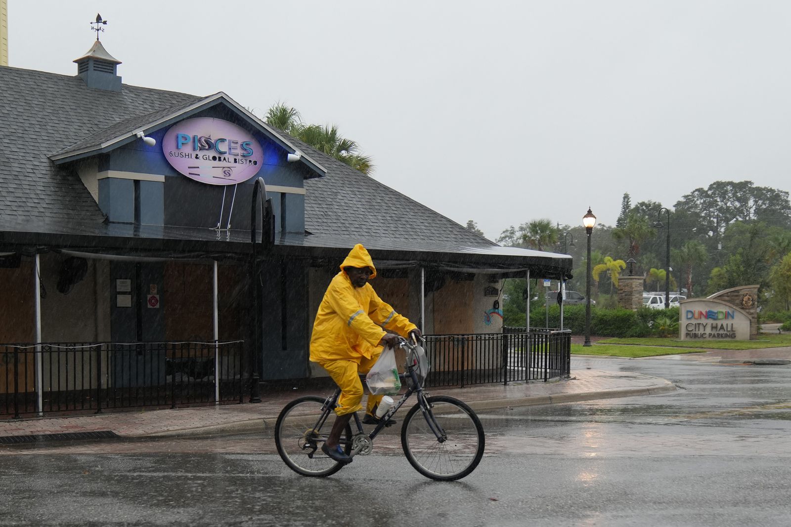
The U.S. National Weather Service (NWS) issued a maximum risk warning, Level 4 out of 4, for excessive rainfall along Florida's east coast this Friday. The agency forecasts severe and widespread flash flooding, posing a danger to lives and property, as a low-pressure system slowly moves toward the coast of the Carolinas.
Maximum alert in florida
According to the NWS Weather Prediction Center (WPC), a low-pressure system located off the east coast of Florida will move slowly northward and reach the South Carolina coast by Sunday. That system will bring heavy rain to Florida's east coast on Friday.
The WPC issued a high risk of excessive rainfall for the region, the most severe level on its scale. The agency warned that severe and widespread flash flooding is expected, even in areas that do not normally experience such events. The forecast indicates that lives and property are at considerable risk.
Authorities recommend that residents avoid crossing flooded streets and not to drive through areas with standing water, and to stay tuned for updates from Civil Protection and the National Weather Service. Flash floods can develop rapidly, especially during heavy and sustained rainfall.
Moderate risk in the Southeast
The risk of excessive rainfall will also extend on Saturday along the southeastern coast of the United States, although at a lower level: a light warning, equivalent to Level 2 out of 4. The decrease in risk does not eliminate the possibility of localized flooding, especially in areas with poor drainage or already saturated soil.
The system's northward movement could keep conditions unstable in several coastal communities over the weekend. Residents of Florida, Georgia, South Carolina and North Carolina should monitor local advisories, as the intensity and distribution of the rain can change rapidly.
Snow in the Rockies
While Florida faces the risk of flooding, a low-pressure system over the Central Rockies will bring snow to parts of the Northern and Central Great Basin, as well as the Central Rockies. Winter conditions will begin to subside by Saturday afternoon.
The NWS is maintaining winter weather advisories for parts of the Great Basin and the Northern Intermountain region. It also issued dense fog advisories for parts of the Southern High Plains through Friday morning, a condition that can drastically reduce visibility and increase the risk of accidents on the roads.
Winter storm warnings remain in effect in the Sierra Nevada through mid-morning. In those areas, snow accumulation and adverse conditions could affect traffic, especially on mountain passes and rural roads.
Moving fronts
A front extending from the Northern Plains southwestward to the Great Basin will move eastward and reach the Great Lakes region and Texas. This system will produce rain accompanied by embedded thunderstorms from the upper Great Lakes to the lower Mississippi Valley between Saturday night and Sunday morning.
Meanwhile, a front over the eastern Pacific will make landfall on the West Coast between Saturday and Sunday. The system will bring rain to the northwest of the country and to the northern and central coasts of California on Saturday, while snow will begin to fall in parts of the Northern Intermountain region from Saturday night through Sunday.
Weekend of extreme conditions
The NWS recommends following official bulletins and avoid unnecessary travel in affected areas, and to prepare for possible power outages, road closures, and precautionary evacuations. The forecast update is valid from 7 a.m. E.T. on Friday, Nov. 20, through 7 a.m. E.T. on Sunday, Nov. 22.