

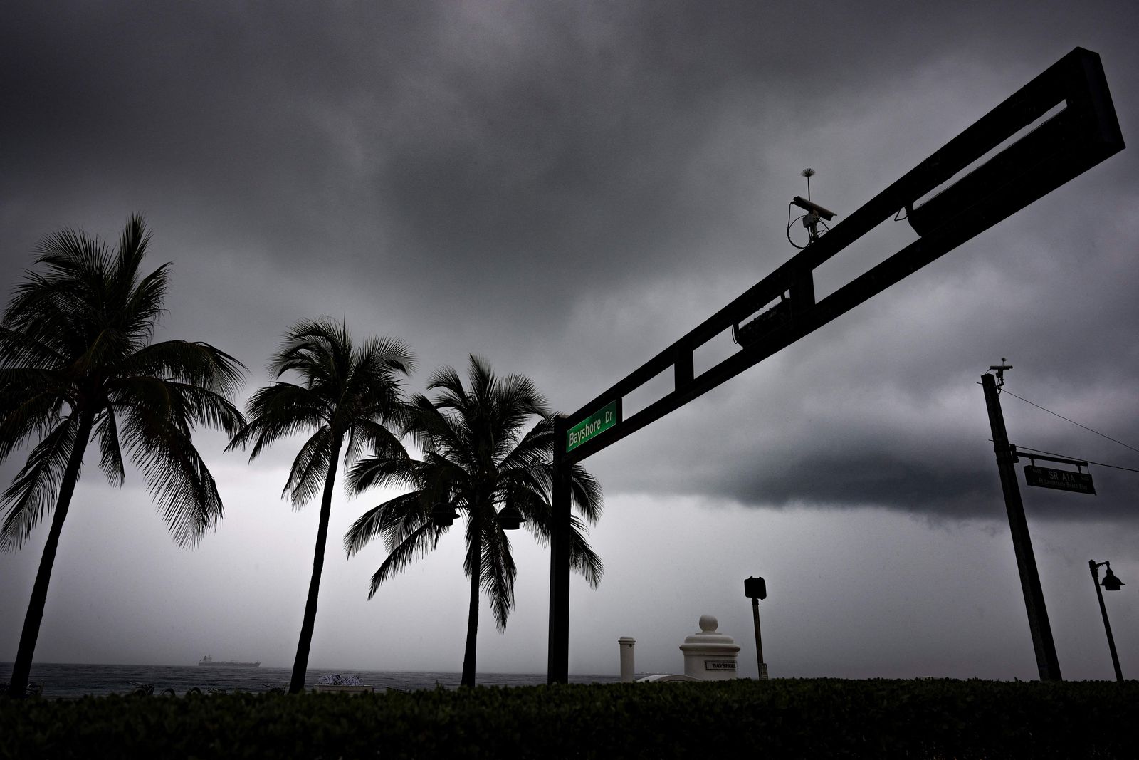
The National Weather Service (NWS) has issued alerts for heavy rain and possible flash flooding in parts of eastern Florida and California, while a powerful Pacific storm system is bringing extreme snowfall in the Sierra Nevada. The Weather Prediction Center (WPC) warns that the most dangerous conditions will persist through Saturday in Florida and through Friday across much of the western United States.
Florida under pressure
Florida's east coast faces the greatest risk of flash flooding. The WPC maintains a moderate risk of excessive rainfall for the Space Coast and the southern portion of the First Coast through Thursday and Friday, a category that indicates a more serious flooding scenario than a conventional advisory.
The bands of rain and thunderstorms, fueled by a persistent easterly flow and deep tropical moisture, could produce accumulations of 3 to 6 inches or more in localized areas. Volusia and Brevard counties, in the central-eastern part of the state, are among the areas most likely to experience urban and flash flooding.
The situation is particularly precarious because the ground is already saturated after days of rainfall. In some areas of South Florida, between 8 and 15 inches of rain in recent days, and the St. Johns River remains under significant flood conditions, increasing the risk that new rainfall will exacerbate the flooding.
Authorities recommend that residents avoid driving through flooded streets, not to drive through areas with standing water and to stay alert to local alerts. Flash floods can develop rapidly, especially in urban areas, areas with poor drainage and communities near rivers or canals.
Wind, waves and a possible tropical system
In addition to the rain, persistent easterly winds along the southeastern coast could lead to hazardous marine conditions, high waves and an increased potential for coastal erosion. The risk particularly affects communities along the Atlantic coast of Florida and the southeastern United States.
The National Hurricane Center (NHC) is also monitoring the possible formation of a low-pressure system near the northern Bahamas late Friday. If it develops, it could take on subtropical or tropical characteristics as it moves northward, although its final track and intensity remain uncertain.
The NHC recommends that residents of Florida, the Bahamas and the southeastern coast follow official updates on NHC.gov, as a change in the system's track or intensity could alter the scope of coastal warnings.
California: Extreme rain and snow
In the West, a Pacific storm system continues to affect much of California and is moving toward the Intermountain West and the Great Basin. The WPC maintains a slight risk of excessive rainfall in parts of Southern California through Thursday, with a particular focus on the Transverse Ranges and the Los Angeles.
The heaviest rainfall could be concentrated over three to six hour periods, with totals of 1 to 3 inches in coastal areas and inland valleys, and 3 to 6 inches or more in some mountainous areas. Runoff from slopes could cause isolated flash flooding, particularly in areas with saturated soil or near burned areas.
The Sierra Nevada faces the most severe impact. Moderate to heavy snowfall is expected, with accumulations of 1 to 4 feet in some areas, snow-covered roads, reduced visibility and difficult travel conditions in the mountains through early Friday. The WPC classifies the impact as "extreme" in that region.
Snow could also spread to parts of the Intermountain West and the Great Basin as the system moves eastward. By Friday, precipitation coverage should gradually decrease across much of California, although showers could persist in parts of the Great Basin and the western interior.
What to expect
California: risk of heavy rain and possible flash flooding in the southern part of the state through Thursday, especially in the Transverse Ranges and the Los Angeles area.
Sierra Nevada: Extreme snowfall and hazardous travel conditions through early Friday, with accumulations that could reach between 1 and 4 feet.
Southeast Coast: strong winds, high waves, risk of coastal erosion and monitoring of a possible tropical or subtropical system near the Bahamas.
Residents in affected areas should stay informed through official alerts from the NWS and the NHC, especially those living in flood-prone areas, near rivers, on mountain roads, or along the coast.