

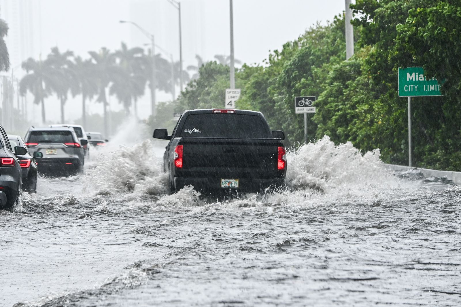
The National Weather Service (NWS) issued a warning about a rain front that will hit virtually all of eastern Florida from early Tuesday through late Wednesday, with some showers possibly persisting through much of Thursday.
The weather agency also reported a Pacific storm in the West that will bring a mix of rain and snow, with rain at lower elevations and snow at higher elevations.
On its X profile, the NWS summarized the forecast for the coming hours.
"The first Pacific storm this week will impact the west with periods of moderate to heavy rainfall and mountain snow. This storm may impact travel safety especially across the Sierra Nevada, Cascades, and Olympics," the agency wrote in a post. "Heavy rain may also increase the threat of flash flooding across the Southwest/Four Corners for Tuesday, especially along burn scars."
"A storm will continue tracking across the western U.S. Tuesday with areas of low elevation rain, mountain snow, and gusty winds. Heavy to excessive rainfall will likely bring flash and urban flooding impacts along the I-95 corridor of Florida starting Tuesday," it added in another post.
From its Miami office, the NWS stated that the heavy rainfall expected in the coming hours "could cause" flooding on interstate highways and streets, so it is likely that several of them may be closed to traffic to minimize the impact on people and ensure no one is put at risk.