Hurricane Rachel weakens slightly as it turns west, but remains major off Baja California coast
At 5 a.m. E.T., the NHC in Miami placed the center of Hurricane Rachel about 245 miles south of the southern tip of Baja California. The hurricane was moving westward at about 5 miles per hour, with sustained winds of 115 miles per hour and stronger gusts. This keeps it at Category 3, a major hurricane.
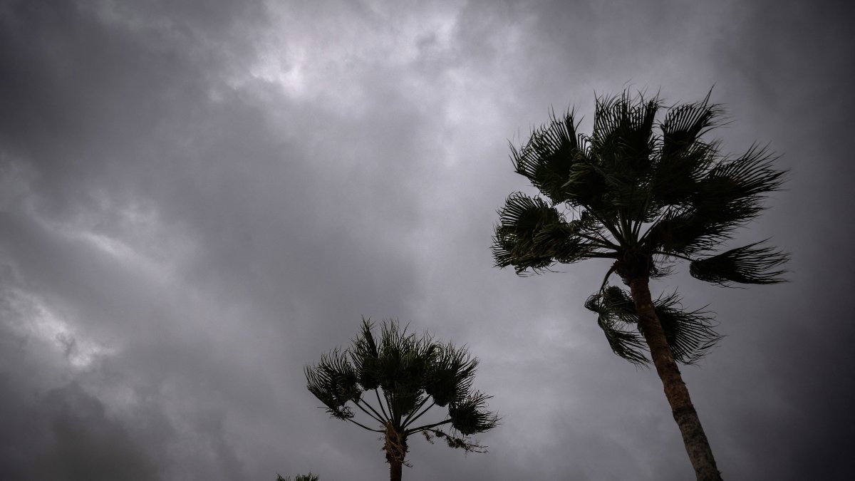
Hurricane Polo in Baja California Sur—File Photo

Hurricane Rachel, which reached Category 3 status yesterday in the Mexican Pacific, began Friday morning slightly weakened and making a sharp turn westward, although it remains a dangerous and well-organized cyclone about 245 miles south of Baja California Sur, according to the National Hurricane Center (NHC).
Location and Characteristics
At 5 a.m. E.T., the NHC in Miami located the center of Hurricane Rachel about 245 miles south of the southern tip of Baja California. The hurricane was moving westward at about 5 miles per hour, with sustained winds of 115 miles per hour and stronger gusts. This keeps it at Category 3, a major hurricane.
Hurricane-force winds extend up to 40 miles from the center. Further out, up to 150 miles, tropical storm-force winds continue to blow. It is not a small system: it can generate swells and bring bands of rain across a wide area of the eastern Pacific, according to the NHC.
Expected trend: Slight decrease in intensity and a turn to the west
The NHC indicates that Rachel "is weakening slightly as it turns westward," a behavior consistent with an environment in which it is beginning to encounter conditions somewhat less favorable for maintaining its peak intensity. According to the forecast, the hurricane is expected to remain near its current intensity through Friday, then begin to weaken gradually over the next two days, though it will remain a significant system as it moves away from the coast.
As for its track, the westward movement is expected to continue at least through the weekend, as Rachel's circulation responds to the mid-level wind patterns in the region. This path keeps the storm out at sea, with no direct impact on land but with indirect effects on the coastline.
Coastal hazards: Dangerous waves and currents through the weekend
Although the NHC has no coastal watches or warnings in effect, the NWS marine products do maintain a hurricane and tropical storm warning for waters off the coast of Baja California. The NHC also warns that swells from Rachel will affect the central-western coast of Mexico and the Baja California Peninsula through the weekend, with high waves and dangerous currents for swimmers, surfers and anyone near the ocean.
Weather agencies recommend checking local office bulletins for sea conditions, beach conditions, and possible restrictions or access closures in tourist areas and ports.
No direct impact expected, but active monitoring underway
With Rachel still a major Category 3 hurricane, the key recommendation for this Friday is to avoid underestimating the danger posed by high waves and strong currents, stay informed through official bulletins and follow the instructions of local authorities in coastal areas under the system's influence.
LATEST