Extreme rain in South, heat wave in California: This weekend's weather map
A nearly stationary cold front will bring storms and the risk of flash flooding from Texas to the Southeast, while a ridge in the West is triggering a "dangerous" heat wave in California with low temperatures that don't drop at night.
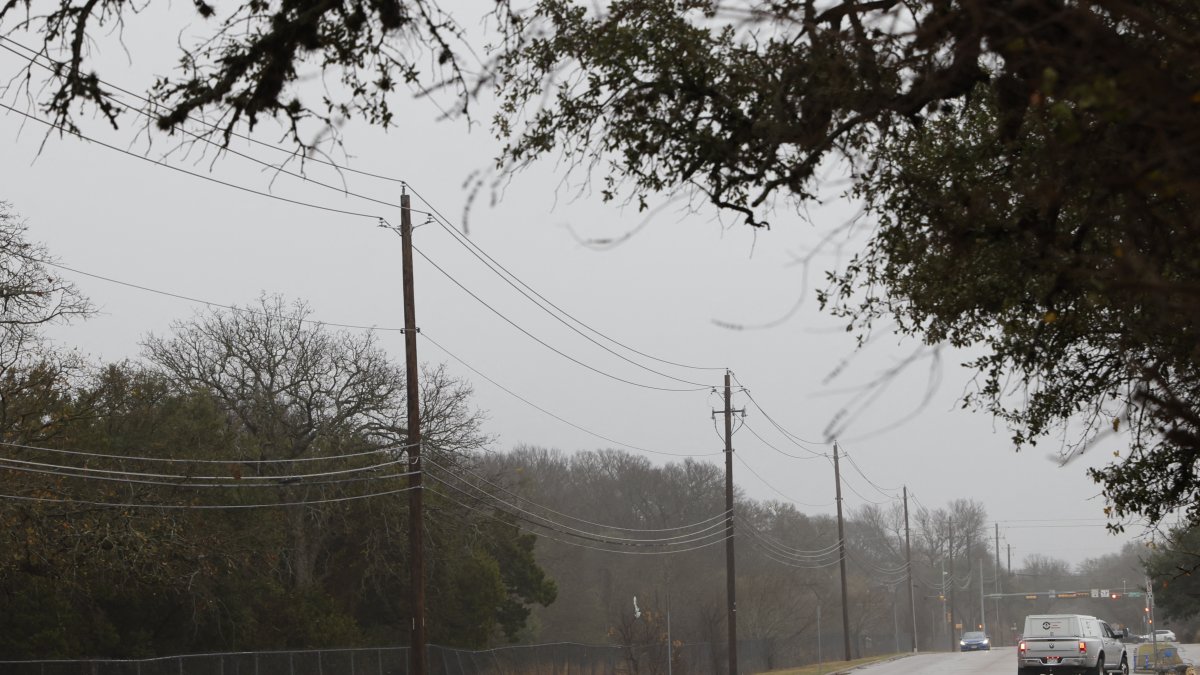
Texas after a storm—File photo

A slow-moving cold front will keep the risk of heavy rain over the southern Great Plains this Friday before shifting the threat of excessive rainfall to the Southeast and the Gulf Coast over the weekend, while a persistent ridge in the West fuels a prolonged and dangerous heat wave in California.
Rain and storms: From South Texas to the Midwest and the Great Lakes
A quasi-stationary cold front will channel showers and thunderstorms along its boundary from South Texas to the Midwest and the southern Great Lakes overnight Thursday into early Friday. The northern portion of the front will move eastward, bringing scattered precipitation and thunderstorm activity to the Ohio Valley, the Northeast, and the mid-Atlantic coast.
In southern and eastern Texas, the quasi-stationary nature of the system will allow storms to persist through Friday, increasing the risk of locally heavy accumulations.
Risk key: Subtropical moisture and convergence along the Gulf Coast
Subtropical moisture, originating in the Caribbean, will flow northward and encounter a weak convergence zone along the Gulf Coast. This interaction will increase the potential for thunderstorms and torrential rain on Friday along that coastal strip.
According to the Weather Prediction Center (WPC) of the NOAA, there is a slight risk (level 2 out of 4) of excessive rainfall in parts of the southern Great Plains on Friday and a similar slight risk for the central Gulf Coast, the lower Mississippi Valley, and the southern Appalachians on Saturday.
Critical weekend: From Texas to the Carolinas
By Saturday, the slow-moving front will have reached the Southeast and the Gulf Coast, where it will combine with the previously mentioned moisture to produce heavy to excessive rainfall along a corridor stretching from southern Texas to the Carolinas.
Under this scenario, flash flooding events are possible, especially in areas with already saturated soil or limited drainage.
Another system to the North: The Dakotas and the Upper Great Lakes Region
At the same time, a second low-pressure system will move southward into the northern states on Saturday, bringing additional showers to the Dakotas and the Upper Midwest and Great Lakes regions.
Heat wave in California: Warnings and timelines
In the West, a persistent ridge will keep temperatures above normal through early next week, with lows in the 70 °F (approximately 21–24 °C), offering little nighttime relief to people without adequate cooling or sufficient hydration. In California, the National Weather Service has issued extreme heat warnings for areas in the southern part of the state, from the San Diego metropolitan area to the Los Angeles metropolitan area, effective for several days starting Friday. In addition, heat advisories are in effect for much of central California west of the Sierra over the weekend.
- Southern California (SoCal): Extreme heat warnings from 10:00 a.m. Friday through 8:00 p.m. the following Thursday in areas including the San Diego, Los Angeles, and Orange counties, as well as the San Bernardino and Riverside valleys.
- Central California: Heat advisories from Saturday through Sunday in areas west of the Sierra, with temperatures that could exceed 90 °F (32 °C) and approach or exceed 100 °F (38 °C) in some valleys.
Forecasts indicate that Saturday will mark the peak of the heat wave in parts of Southern California, with highs potentially reaching triple digits in some valleys, while temperatures near 90 °F (32 °C) are expected along the coast.
LATEST